The combination of ArcGIS and AutoCAD is altering the way engineers, planners, and infrastructure developers design and handle projects. According to industry research, it was pointed out that smart city initiatives, digital twins, and infrastructure modernization have led the global GIS market to grow faster than ever. At the same time, CAD platforms still remain fundamental to engineering design. When ArcGIS and AutoCAD are combined, organizations acquire spatial intelligence and accurate drafting in one seamless workflow. This powerful connection between AutoCAD and GIS increases productivity, decreases rework, and improves long-term asset management.
Understanding the Basics: GIS and CAD Explained
It is important to clarify the fundamentals first for understanding how ArcGIS and AutoCAD cooperate.
Geographic Information Systems (GIS) are platforms which are used to capture, analyze, and visualize spatial data. GIS aims on real-world locations, coordinate systems, terrain models, and attribute data coupled to geographic features.
Computer-Aided Design (CAD), on the other hand, is used for drafting and technical design. AutoCAD civil software is extensively used in road design, utilities, grading, and infrastructure layout. CAD focuses on accurate drawing, geometry, layers, and engineering documentation.
The major difference between AutoCAD and GIS lies in purpose. GIS accomplishes spatial relationships and attributes, while CAD handles design geometry. However, modern projects need both spatial intelligence and detailed engineering drafting. That is where ArcGIS and AutoCAD combination becomes essential.
How ArcGIS and AutoCAD Work Together
When professionals use ArcGIS and AutoCAD simultaneously, they fill the gap between spatial data and engineering design.
At first step, CAD drawings are georeferenced using coordinate systems. Georeferencing confirms that DWG files align correctly with real-world geographic coordinates. Design errors and misalignments may occur without accurate spatial referencing.
Secondly, data exchange enables DWG files to be transferred into GIS layers. On the other hand, GIS shapefiles and feature services can be imported into CAD environments. This produces a synchronized workflow between AutoCAD ArcGIS systems.
Third step: spatial attributes like land ownership, elevation, zoning, or environmental constraints can be related to CAD elements. Rather than drafting blindly, engineers design using location-aware data.
This partnership improves design precision and decreases conflicts in infrastructure planning.
What Is ArcGIS for AutoCAD?
ArcGIS for AutoCAD is a specialized extension that links CAD users directly to GIS data. It functions as a plug in AutoCAD that enables engineers to access GIS layers inside the CAD interface.
Through ArcGIS for AutoCAD, users can:
- Join ArcGIS Online or enterprise GIS servers
- Import feature layers completely into drawings
- Maintain spatial precision through coordinate systems
- Attach GIS attributes to CAD objects
This plug in AutoCAD removes manual data conversion. Engineers work with live GIS data, rather than exporting and re-importing files repeatedly. This incorporation improves cooperation between GIS analysts and CAD designers.
Role of ArcCAD and Other Plugins
ArcCAD tools and similar AutoCAD ArcGIS extensions further improve addition. These tools assist with managing attribute mapping, spatial queries, and data transformation.
ArcCad solutions are remarkably useful in large infrastructure projects where consistent attribute management is necessary. With these tools, organizations decrease duplication of effort and retain centralized spatial databases.
By using plug in AutoCAD solutions, engineering teams guarantee that their CAD drawings remain linked to real-world geographic information. This improves reliability and decreases discrepancies between planning and implementation.
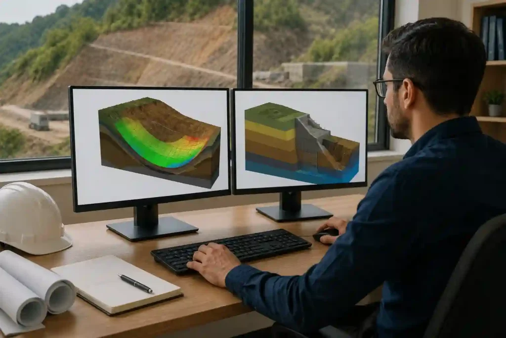
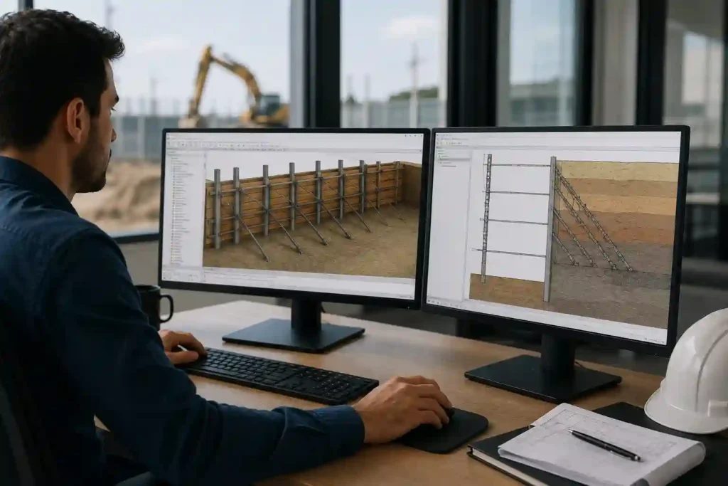
Applications for ArcGIS and AutoCAD Integration
The blend of ArcGIS and AutoCAD supports many industries:
- Urban planning and zoning analysis
- Highway and road design using AutoCAD civil software
- Water supply and drainage systems
- Utility mapping and underground services
- Environmental impact assessments
- Smart city development projects
In each of above cases, AutoCAD and GIS collaborate to build smarter, data-driven designs. Engineers draft with accuracy while leveraging real-time spatial intelligence.
Financial Benefits and ROI of GIS–CAD Integration
In addition to technical advantages, ArcGIS and AutoCAD integration offers strong financial returns.
First, decreased rework lowers project costs. When drawings align with GIS data from the start, design clashes are minimized.
Second, productivity rises. Engineers spend less time manually changing files between AutoCAD ArcGIS systems. This saves billable hours and speeds up project timelines.
Third, better asset lifecycle management decreases long-term operational costs. Spatially supported designs correct maintenance planning and infrastructure tracking.
Licensing considerations should also be assessed. While ArcGIS for AutoCAD and AutoCAD civil software involve subscriptions, the cost savings from enhanced coordination often outweigh licensing expenses. Organizations that combine AutoCAD and GIS workflows naturally experience significant ROI through fewer field corrections and improved data accuracy.
Challenges and Best Practices
Although there are benefits of combining ArcGIS and AutoCAD, it can present challenges.
Data compatibility issues may arise when coordinate systems are unreliable. Version mismatches between CAD and GIS platforms can also initiate workflow interferences. Additionally, training needs may increase short-term costs.
Best practices incorporate:
- Standardize coordinate systems across projects
- Maintain unified spatial databases
- Supporting training on ArcGIS for AutoCAD
- Determining clear data governance policies
When these steps are pursued, AutoCAD ArcGIS incorporation becomes smooth and trustworthy.
Future Trends in AutoCAD and GIS Collaboration
The future of ArcGIS and AutoCAD is in cloud-based alliance and digital twins. Cloud GIS platforms now enable real-time updates accessible from anywhere.
Artificial intelligence is also improving spatial analytics. Predictive modeling linked with CAD drafting will further optimize infrastructure design.
BIM and GIS convergence is another evolving trend. With expansion of digital twin technologies, AutoCAD and GIS integration will play a cardinal role in smart infrastructure and sustainable development.