Every excavation is a decision that carries risk. In the U.S., industry informing has estimated 532,000 excavation-related damages in a single year (2019), with damage and loss costs mentioned at near $30 billion. That’s the reason that underground mapping tools have become “job-critical” for utilities, contractors, and municipalities rather than being just “nice to have”.
The disturbance isn’t limited to repair bills. Dig-ins can cause outages, safety incidents, traffic delays, and reputational loss. In one public industry summary, the Common Ground Alliance’s DIRT reporting is referenced as assessing about $30 billion annually in costs from dig-ins to buried utilities. In simple words, underground mapping tools facilitate teams decrease uncertainty before the first bucket hits the ground.
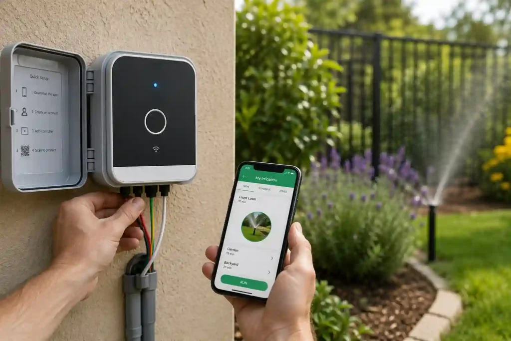
What Underground Mapping Means
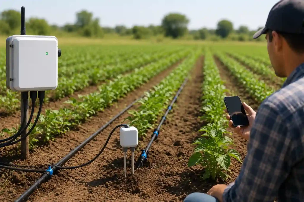
Underground mapping is the process of revealing, locating, and documenting buried infrastructure so that teams can excavate, design, or maintain assets securely. Usual targets involve water mains, sewer and storm networks, gas pipelines, electrical distribution, fiber and telecom ducts, and service laterals.
What makes this reason important is the “as-builts vs reality” gap. Records may be inadequate, outdated, or missing depth and offsets. The scenarios like renovations, emergency repairs, undocumented service connections, and asset drift over time can all produce a situation where the map doesn’t match what’s actually in the ground. This is where underground mapping tools convert ambiguity into measurable confidence.
Why Underground Mapping Tools Matter for Utilities and Construction
For the businesses, it means that avoiding damage avoids downtime and claims. The operational case is equally strong, because better location data means less redesigns, less surprises during trenching, and faster rebuilding when something fails.
Damage prevention data also emphasizes that human and process issues still dominate. For example, the 2023 DIRT coverage summarized that the top six root causes resulted in 76% of incidents for a third consecutive year, and it also observed telecommunications infrastructure representing nearly 50% of damage in that dataset. If the majority of risk is predictable, underground mapping tools become one of the most convenient levers to decrease it.
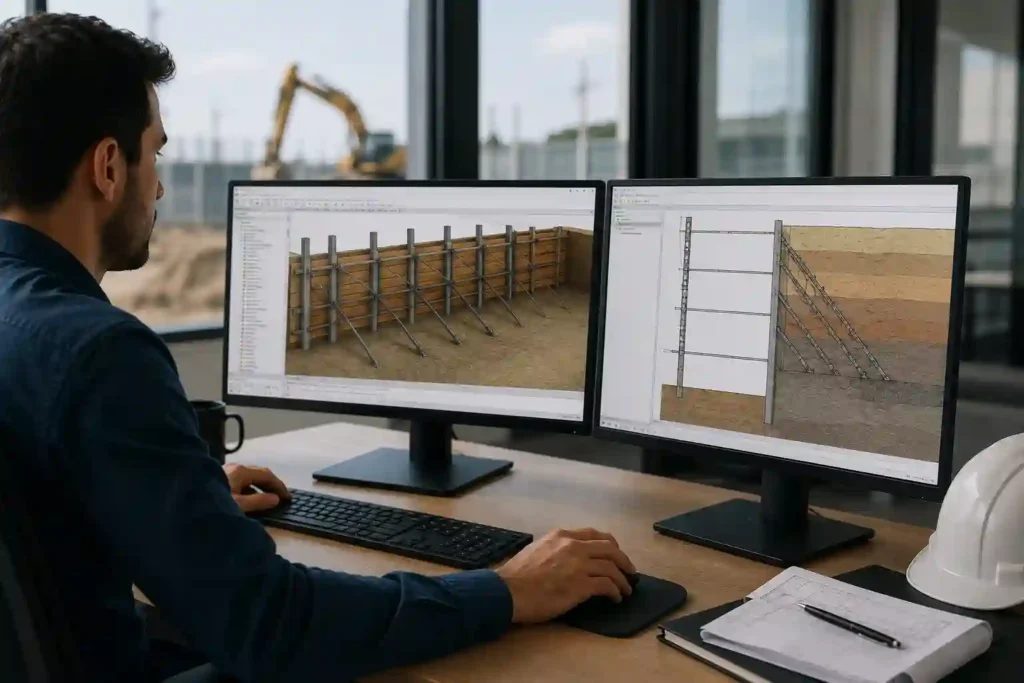
Core Underground Mapping Techniques
Modern underground mapping techniques mostly combine numerous sensors and verification steps. No single instrument is ideal across all soils, asset types, and depths, which is why experienced crews match the method to the problem.
Ground Penetrating Radar
GPR forwards electromagnetic pulses into the ground and reads reflections from material boundaries. It can be superb for non-metallic utilities (PVC, HDPE) and for finding voids or unknown objects, specifically when surface conditions enable clean scanning.
GPR’s limits are just as important i.e. wet clays, high salinity soils, rebar clutter, and deep targets can decrease signal clarity. In those environments, underground mapping tools that combine GPR with EM locating and targeted verification manage to perform better than “GPR-only” attempts.
Electromagnetic Locators
EM locating traces conductive assets (or tracer wires) by detection of electromagnetic fields. It’s often the quickest way to trace metallic pipes and energized lines, and it can be used in passive mode (spotting existing signals) or active mode (applying a signal to trace).
The major challenge is that EM can struggle with non-metallic pipes without tracer wire, and it can be deceived by signal bleeding, congested corridors, or parallel utilities. Good practice is to consider EM results as “high confidence” only when cross-checked with site context and also when spot verification when it is needed.
Acoustic and Leak Detection Methods
Acoustic methods are extensively used for water leak recognition by “listening” for leak signatures, correlating noise between sensors, or using hydrophones. They are exceptionally valuable when the main goal is finding a leak location instead of full corridor mapping.
Acoustic methods can be less trustworthy in noisy environments, through certain pipe materials, or where access points are inadequate. Still, for utility maintenance, they may be among the most ROI-positive underground mapping tools because they shorten the time to separate and repair leaks.
Other Methods
- CCTV (for sewers and storm drains), soundtrack (for tracing non-metallic pipes via an inserted transmitter),
- potholing/daylighting (vacuum excavation for direct confirmation),
- LiDAR (for surface context and alignment) often play supporting roles.
In real projects, these “secondary” methods are often the difference between a map that looks plausible and a map that is defensible.
A rational summary of underground mapping techniques:
- GPR scanning for non-metallic and unknown targets
- EM locating (passive/active) for conductive lines and tracer wire
- Sondes for tracing pipes/ducts from access points
- Acoustic correlation for leak pinpointing
- CCTV inspection for condition and alignment in gravity networks
- Potholing/daylighting for verification and depth confirmation
- Surface LiDAR/photogrammetry to align underground results to site reality
- As-built reconciliation to update records after construction
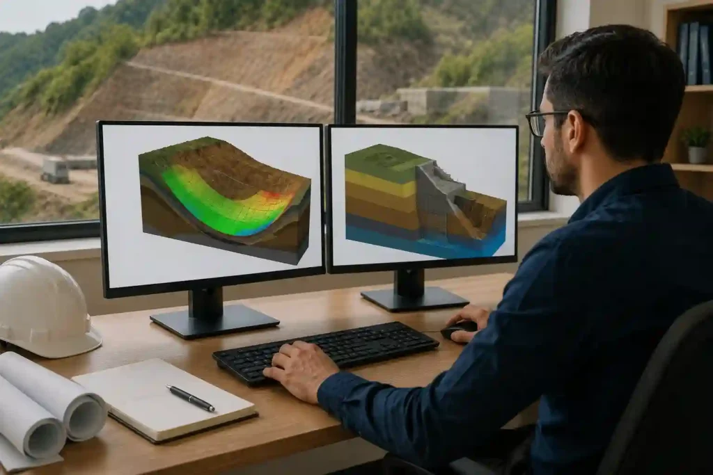
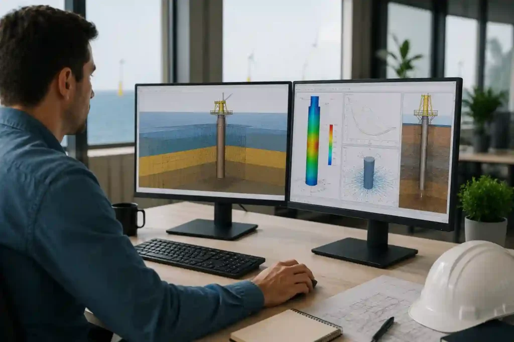
Underground GIS Mapping Tools and Digital 3D Mapping
Recognition is only half the job. The value enhances when results become a maintained spatial asset database. This is where underground GIS mapping tools come in to play their role as, they store geometry (lines, nodes), attributes (material, diameter, depth, install year), confidence levels, and survey metadata so that the organization can reuse the data.
A strong GIS workflow also assigns quality and precision classes. Rather than claiming “it’s mapped,” teams track how it was mapped: consider sensor type, date, survey method, and verification status. With time, utilities build a defensible record that establishes capital planning, emergency response, and maintenance prioritization.
Many utilities are also proceeding toward 3D-enabled GIS and “digital twin” style representations. Here, a 3D underground network (with depth and clearances) is networked to surface assets and operational data. Provided done well, underground GIS mapping tools decrease the data fragmentation that force teams to re-enter the same information in numerous systems. A NIST study on interoperability in the capital facilities industry estimated $15.8 billion per year in costs attached to inadequate interoperability; an older figure, but still a useful reminder that detached data has real economic consequences. This is why underground mapping tools should be assessed not only for recognition performance, but also for how well outputs combine into GIS and asset management systems.
Applications: Utility Management, Construction Safety, and Urban Planning
Underground mapping technology has grown beyond “locate before you dig.” Utilities use it to decrease emergency response times, increase network reliability, and plan upgrades with less surprises. Contractors use it to protect schedule assurance. Cities use it to de-risk public works corridors and permit faster authorizations.
Key applications are:
- Pre-construction utility investigations for safer excavation
- Conflict checks for design (roadworks, drainage, telecom, power upgrades)
- Maintenance planning (valves, hydrants, service laterals, fault tracing)
- Leak recognition and non-revenue water reduction support
- Emergency response (fast isolation and restoration planning)
- Urban planning corridor studies and permit review acceleration
- Documentation updates after construction to decrease future uncertainty
- Risk scoring of “high congestion” corridors for proactive remediation
Financial Impact: Cost Reduction, ROI, and Long-Term Savings
The ROI for underground mapping tools usually comes from prevented events: less strikes, less redesigns, less standby crews, and less delays. The “hidden savings” frequently beats the direct savings.
A simple ROI logic (no complex math): if a mapping program stops one high-impact strike that would have activated an outage, emergency repairs, traffic management, and claims, the evaded cost can exceed the cost of the survey, particularly on dense urban corridors. That logic is emphasized by the scale of the problem: public references to CGA’s DIRT reporting highlight costs about $30 billion annually, and individual-year estimates mention hundreds of thousands of events.
Long-term savings increase when mapping results are retained and governed by GIS. The first project pays for recognition; the next ten projects benefit from better records, faster planning, and less surprises. This also makes underground GIS mapping tools to become a finance tool, as they preserve value by stopping data loss between teams and contractors.
Challenges and How to Select the Right Tools
Selection starts with Identifying restrictions. You can identify by asking following questions:
- What utilities are expected (metallic vs non-metallic)?
- What soil conditions exist (wet clay vs dry sand)?
- What accuracy is required (planning-level vs excavation-ready)?
- What deliverables are needed (2D plan, 3D depth model, GIS database updates)?
Training and governance are as important as hardware. Underground mapping tools can make misleading outputs when operators don’t recognize signal behavior, or when results aren’t confirmed against access points and construction context. Data governance also counts i.e. who owns updates, how confidence levels are recorded, and how “unknown” findings are tracked.
Pros and cons:
- Pros: less strikes, better safety, reduced rework, stronger planning accurateness, faster approvals, more consistent records
- Cons: performance differs by soil/utility type, training requirements, interpretation ambiguity, verification cost, ongoing database upkeep, combination complexity
A practical rule: use several underground mapping techniques when risk is high and always define how results will be confirmed and stored.
Future Trends: AI, Robotics, and Smarter Utility Locating
The next wave is sensor merging and automation. AI-assisted analysis is increasingly used to classify GPR signatures, flag anomalies, and reduce the time between scanning and decision-making. Robotics is also growing in inspection contexts, particularly for confined networks where CCTV, sonar, and condition assessment can be combined with geospatial alignment.
Over time, underground mapping technology will no longer be just a “one-off locating job”; instead, it will work like a continuous utility intelligence layer: GPR + EM + acoustic + GIS updates, related to asset management workflows and prioritized by risk. In the future, underground mapping tools will become part of standard operating practice for both utilities and major construction programs.