Location is the main driver of almost everything in construction. Location means access routes, conditions of ground, utilities, permits, neighborhoods, and risk exposure. Industry research repeatedly features that many project issues like rework, delays, and claims start with incomplete site information or poor coordination between “what’s on the map” and “what’s on the ground.” That’s the reason that work related to GIS in construction industry is growing fast. When teams use GIS early and keep it updated, they decrease surprises and take better decisions across planning, design, and performance.
What Is GIS in Construction Industry?
GIS in construction industry means employing a Geographic Information System (GIS) to handle and analyze location-based data for construction projects. GIS is not only a map; it is a database that is linked to geography, where every point, line, or area can store properties such as material type, depth, ownership, condition, risk level, permit status, or even installation date.
This is important because spreadsheets and PDFs can list data, but they cannot certainly connect data to exact location. While using GIS, the “where” becomes part of the information itself. That’s why GIS in construction has become a practical tool for visibility, coordination, and risk control, specifically on infrastructure and multi-site projects.
How GIS Works (Explained Simply)
For understanding GIS, start with the idea of layers. A layer is a dataset that is located on a map, such as parcels, utilities, drainage lines, soil types, or flood zones. Each item on a layer also has attributes, which are the details stored in the database, such as pipe diameter, voltage, owner, or inspection date.
By using coordinates reference systems and map projections, GIS places data correctly on the Earth. A coordinate system defines how locations are determined, while a projection defines how the curved Earth is demonstrated on a flat map. In construction, this precision concerns because small positional errors can result in big mistakes.
Another key term is georeferencing, which means aligning drawings, images, or scanned plans to real-world coordinates so that they match the map. By georeferencing utility plans or drone imagery, teams can seamlessly overlay and compare them with survey data, design alignments, and real-world field observations. This is where GIS construction does not remain limited to visualization, it becomes a decision tool.
GIS in Construction: Where It Fits Across the Project Lifecycle
GIS in construction industry work begins early, frequently before design starts. GIS supports site intelligence, constraints mapping, and corridor studies during planning and feasibility studies. During design, it helps justify alignments, detect conflicts, and converse impacts to stakeholders.
GIS, during construction supports field reporting, logistics planning, utility coordination, and monitoring of progress. The same GIS database can serve as an asset record for operations and maintenance after handover of the asset. This continuity of lifecycle is one of the major reasons that GIS for construction is becoming vital for modern projects.
Key Applications of GIS for Construction Projects
Site Selection and Feasibility
GIS facilitates site selection by allowing teams to estimate competing options against quantitative metrics, including accessibility, topography, ownership, utility proximity, and environmental or risk factors. For private developments, this develops early decision speed. For public infrastructure, it improves transparency by showing why one option is more feasible than another. Practically, GIS in construction industry planning decreases time wasted on sites that will later fail permitting, access, or utility needs.
Infrastructure Planning and Corridor Studies
When working on roads, pipelines, rail, and transmission lines, GIS assists corridor planning by providing a comparison of alternative routes and understanding restrictions like right-of-way, protected areas, steep slopes, or flood plains. This is a classic use case of GIS construction because small changes in route may change earthworks, land acquisition cost, and risk profile.
Utility Mapping and Clash Avoidance
A major cause of delays is utility surprises. GIS facilitates teams combining utility records, survey results, and as-built updates in one map so that conflicts become visible at an early stage. When the map is kept updated, it serves as the coordination language between owners, consultants, and contractors. This is one of the most direct ways GIS in construction decreases rework and claims.
Environmental, Social, and Permitting Support
Permitting is usually dependent on location-specific rules. GIS collaborates on environmental screening, stakeholder mapping, and impact visualization. It helps teams make clearer evidence for authorities, remarkably when projects overlap with waterways, wetlands, protected zones, or dense communities. This is a practical benefit of GIS for construction, because better clarity can decrease approval cycles and redesign at later stages.
Risk Management (Flood, Landslides, ROW, Access)
GIS is powerful tool for risk mitigation because risk is often spatial. These risks are like, flood risk changes by elevation and drainage, landslide risk changes by slope, soil, and rainfall patterns. Access risk is dependent on roads, bridges, and seasonal conditions. By using GIS, teams can develop risk layers, compare scenarios, and plan improvements earlier. This makes GIS in construction industry planning control and not just a mapping tool.
Construction Logistics and Traffic Management
Logistics decisions, such as haul routes, staging areas, laydown yards, detours are inherently driven by location. GIS helps teams model routes, identify constraints, and communicate traffic plans to stakeholders. On urban projects, this helps in coordination with municipalities and decreases interference.
Progress Monitoring and Field Reporting
GIS can link field updates to exact location, which is beneficial for linear assets and large footprints. When progress photos, inspection records, and issues are pinned to the map, teams understand quickly about what is complete and what is blocked. In this scenario GIS construction serves as a tool for day-to-day site management.
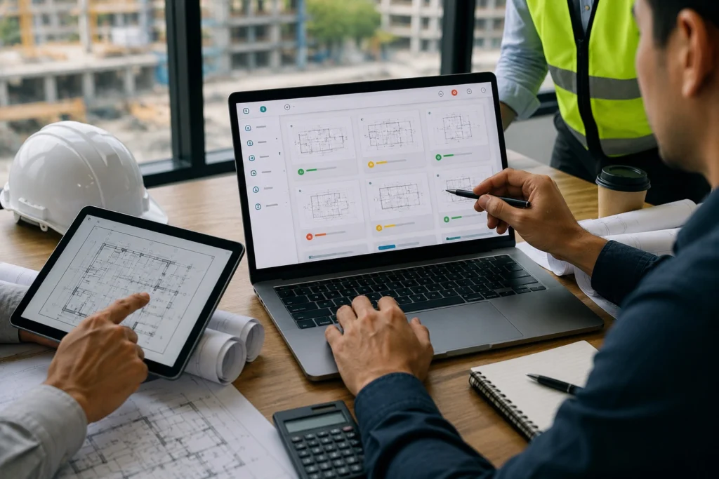
Integrating GIS Construction With BIM, Drones, and IoT
Modern delivery upgrades when GIS links with other systems. BIM delivers detailed 3D design data, while GIS provides real-world context like terrain, parcels, utilities, and environmental constraints. When teams combine BIM and GIS, they can understand design impacts across geography and communicate with them more clearly.
Drones and LiDAR add quickly reality capture. Drone Ortho mosaics is georeferenced and can be compared over time. LiDAR point clouds can support volume checks and updates on terrain. Progress and site conditions become easier to validate if this data flows into GIS in construction industry workflows.
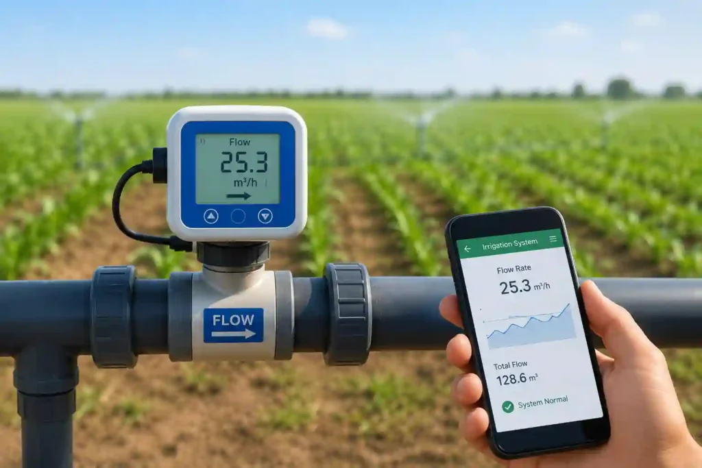
IoT sensors may also feed GIS with some additional information. For example, sensors can check settlement, vibration, temperature, or water levels. When readings are joined to location, teams can see patterns and respond rapidly. By this combination, GIS in construction becomes a bridge between design intent and real-world operation.
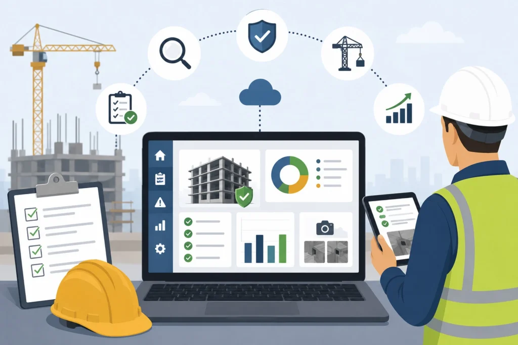
Benefits for a GIS Construction Company
A GIS construction company gains benefits by increasing coordination and decreasing uncertainty. GIS enhances communication because maps are intuitive for stakeholders, with non-technical decision makers. It improves governance because decisions can be traced to location-based evidence instead of assumptions.
A GIS-enabled method also advances handover. Owners of asset can operate and maintain infrastructure more efficiently, when as-built data is stored in an organized geodatabase. For many clients, value of this lifecycle is as important as the construction phase itself.
Financial Impact: Cost Control, Budgeting Accuracy, ROI, and Reduced Rework
The financial case for GIS in construction industry comes from decreasing expensive vagueness. Utility clashes, access constraints, and permitting surprises are not only schedule risks, but they also multiply the expenses. If GIS is used early for mapping of constraint and sustained through construction, teams decrease rework that is driven by “unknown conditions,” and they also decrease delays caused by late detection.
Budgeting accurateness improves because quantities and assumptions become more supported by in-site intelligence. Route selection, earthworks approach, drainage planning, and staging strategies are influenced by GIS-visible factors like topography, land constraints, and haul routes. Better early assumptions result in less mid-project budget shocks.
ROI often appears in several places like less redesigning cycles, less claims related to uncertain site conditions, better productivity through optimized logistics, and rapid decisions because stakeholders see impacts visibly. Over time, organizations also figure out a reusable spatial data foundation, which lowers the cost of future projects in the same region.
Challenges and Best Practices
The first and foremost challenge is quality of data. GIS remains good as far as the data going into it is also, and construction data changes rapidly. One of the best practices is to state ownership early, i.e. who updates utilities, who validates coordinates, and how changes are passed.
Another challenge is interoperability. It is possible that different teams use different coordinate systems or naming standards, which can produce alignment issues. Standardizing coordinate reference systems, data dictionaries, and file conventions decreases confusion and keeps GIS in construction industry workflows consistent.
Field adoption also matters. GIS becomes outdated if field teams cannot capture updates easily. Mobile-friendly workflows, simple forms, and clear “why this is important” training retain the system alive.
Future Trends in GIS in Construction Industry
The next phase of GIS in construction industry is more real-time and more prognostic. Digital twins will increasingly trust GIS as the geospatial backbone, linking design, construction progress, and asset condition. AI-assisted risk mapping will help teams recognize hotspots for utility conflict, safety exposure, or climate-related risks early. More GIS will also be mobile-first, so that field teams can update conditions and issues without friction.
Conclusion and Key Takeaways
GIS in construction industry projects succeed when GIS is considered as a living system, not a one-time map. It enhances planning, decreases surprises, reinforces stakeholder communication, and establishes better financial decisions through clearer risk visibility.
A practical way to start is to pilot one GIS using cases like utility mapping, logistics planning, or risk layering, then scale once the team sees decreased rework and speedy decision cycles.